
The quiet side: marsh and parks.
Behind the dunes, Oak Island is all salt marsh, tidal creeks and quiet waterfront parks. Here's where to walk, paddle, fish and play.
Walk across the marsh to the beach.
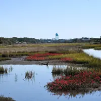
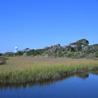
The Davis Canal runs behind the beachside streets. The Town has built wooden pedestrian crossovers over the canal and its salt marsh, so you can walk from the Oak Island Drive side to the beachside streets without a car.
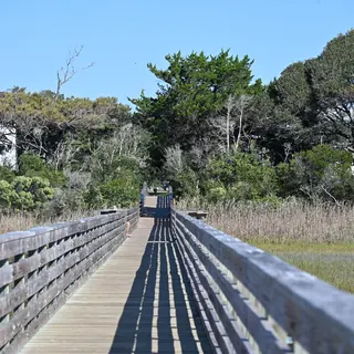
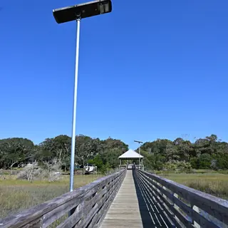
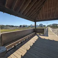
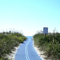
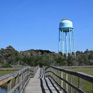
Walkway rules: no fishing, crabbing or bait casting on the walkways or within 30 ft of their access areas, and no bikes, scooters, skateboards or golf carts (Town code Sec. 22-4).
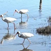
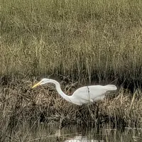
Tip: go at low tide for fiddler crabs and wading birds, and at golden hour for the light on the spartina grass.
🛶 What is the Davis Canal?
It's a narrow tidal waterway that runs east–west through the island between the beachside streets and the Oak Island Drive side, lined with salt marsh.
- No-wake zone: narrow, shallow and calm, so it's a good first paddle for new kayakers
- Look for great blue herons, egrets, kingfishers and fiddler crabs
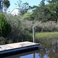
- Launch at the SE 31st Street kayak launch (the Town is replacing it, so call first). Ask the Recreation Center at 910-278-5518 about kayak rentals

Where to play
Every park, pier and dock the Town lists. Tap one to look around, see it from above and get directions.
Town parks are open from one hour before sunrise to one hour after sunset (the Town’s Parks & Facilities page), unless a park lists its own hours below. Alcohol is not allowed in any Town park (Sec. 22-1).
Park pages
Address, what's there and answers to common questions for each park:
Middleton Park Complex Veterans Park May Moore Park Malcolm Register Park & Nature Center Shipwreck Park Yaupon Park Heron Lookout Park Commissioner's Observatory Park 46th Street Cabana Observation Deck Davis Canal marsh crossovers Hannon A. Templeton Park (dog park) Bill Smith Park & Salty Dog Park 78th Street Crab Dock
Park names, addresses and amenities from the Town of Oak Island Parks & Facilities page. Photos are credited in each panel and on the credits page.
Docks, launches & fishing spots
Every public water access point in the Town's GIS, west to east.